搜索结果: 1-15 共查到“理学 Maps”相关记录280条 . 查询时间(0.218 秒)
Academy of Mathematics and Systems Science, CAS Colloquia & Seminars:Coexistence of nonempty Fatou sets and Julia sets with interior for transcendental Hénon maps
超Hénon映射 非空Fatou集 Julia集 内部共存性
font style='font-size:12px;'>
2023/11/29
Academy of Mathematics and Systems Science, CAS Colloquia & Seminars:On the Gauss maps of complete minimal surfaces in Rm
Rm 完全极小曲面 高斯映射
font style='font-size:12px;'>
2023/12/11

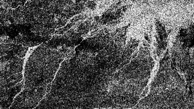
Titan’s river maps may advise Dragonfly’s sedimental journey(图)
土卫六 河流地图 沉积
font style='font-size:12px;'>
2023/5/23
Academy of Mathematics and Systems Science, CAS Colloquia & Seminars:Peak distributions and peak maps in lattice paths
晶格路径 峰分布 峰图
font style='font-size:12px;'>
2023/4/13
Academy of Mathematics and Systems Science, CAS Colloquia & Seminars:Bounded Poincaré maps for BGG complexes
BGG复形 有界 Poincaré映射
font style='font-size:12px;'>
2023/5/10
LANDFORM PERCEPTION ACCURACY IN SHADED RELIEF MAPS: A REPLICATION STUDY CONFIRMS THAT NNW LIGHTING IS BETTER THAN NW AGAINST THE RELIEF INVERSION EFFECT
Relief inversion effect Terrain reversal effect Shaded relief maps
font style='font-size:12px;'>
2018/11/9
Relief inversion effect is a perceptual phenomenon that leads to an inverted perception of convex and concave shapes. This perceptual inversion occurs in scenes where the shading/shadows act as the ma...
THE RESEARCH AND COMPILATION OF CITY MAPS IN THE NATIONAL GEOMATICS ATLAS OF THE PEOPLE'S REPUBLIC OF CHINA
new century version of National Geomatics Atlas of the People's Republic of China map visualization map symbol cartographic generalization mapping scope city map
font style='font-size:12px;'>
2018/5/15
The research and compilation of new century version of the National Huge Atlas of the People's Republic of China is the special basic work project by Ministry of Science and Technology of the People's...
基于Google Maps API和AJAX的地震震情灾情展示系统
Google Maps API AJAX B/S架构 综合展示
font style='font-size:12px;'>
2019/1/4
设计了一种B/S架构的地震震情灾情信息综合展示系统,采用Google Maps API v3实现前端WebGIS功能,通过AJAX方式分别访问震情和灾情数据源,解析数据,关联震情灾情信息并分类显示,实现了震情灾情态势的直观展示。
DEVELOPING SEISMIC INTENSITY MAPS FROM TWITTER DATA; THE CASE STUDY OF LESVOS, GREECE 2017 EARTHQUAKE: ASSESSMENTS, IMPROVEMENTS AND ENRICHMENTS ON THE METHODOLOGY
seismic intensity twitter volunteered geographic information VGI
font style='font-size:12px;'>
2018/4/18
This article presents an effort to validate and further improve a previously published innovative approach for drawing macroseismic intensity maps from data extracted from sources of volunteered geogr...
DEVELOPING SEISMIC INTENSITY MAPS FROM TWITTER DATA; THE CASE STUDY OF LESVOS, GREECE 2017 EARTHQUAKE: ASSESSMENTS, IMPROVEMENTS AND ENRICHMENTS ON THE METHODOLOGY
seismic intensity twitter volunteered geographic information VGI
font style='font-size:12px;'>
2018/5/8
This article presents an effort to validate and further improve a previously published innovative approach for drawing macroseismic intensity maps from data extracted from sources of volunteered geogr...

From Alaska To Amazonia:First Global Maps Of Traits That Drive Vegetation Growth(图)
Alaska Amazonia:First Global Maps Drive Vegetation Growth
font style='font-size:12px;'>
2017/12/19
Based on measurements of 45,000 individual plants from 3,680 species, and using high-tech statistical mapping protocols, the team created global maps of plant traits including leaf nitrogen concentrat...

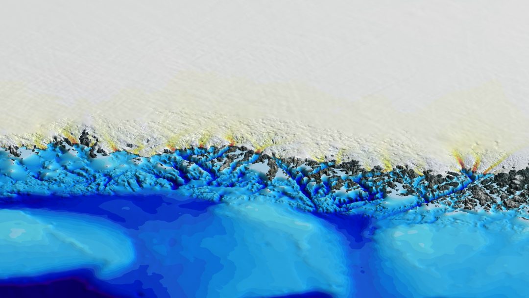
New Greenland maps show more glaciers at risk(图)
New Greenland maps more glaciers risk
font style='font-size:12px;'>
2017/11/23
New maps of Greenland’s coastal seafloor and bedrock beneath its massive ice sheet show that two to four times as many coastal glaciers are at risk of accelerated melting as had previously been though...

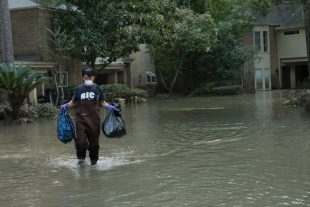
Decade of data shows FEMA flood maps missed 3-in-4 claims(图)
Decade data FEMA flood maps missed 3-in-4 claims
font style='font-size:12px;'>
2017/9/20
An analysis of flood claims in several southeast Houston suburbs from 1999 to 2009 found that the Federal Emergency Management Agency’s 100-year flood plain maps — the tool that U.S. officials use to ...
IUPUI maps genome of black blow fly;may benefit human health,advance pest management
IUPUI genome of black blow fly benefit human health advance pest management
font style='font-size:12px;'>
2016/11/29
Researchers at the School of Science at Indiana University-Purdue University Indianapolis have sequenced the genome of the black blow fly, an insect commonly found throughout the United States, southe...
BEYOND FLOOD HAZARD MAPS: DETAILED FLOOD CHARACTERIZATION WITH REMOTE SENSING, GIS AND 2D MODELLING
Flood Hazards LiDAR Flood Simulation HEC RAS 2D Modelling
font style='font-size:12px;'>
2016/10/14
Flooding is considered to be one of the most destructive among many natural disasters such that understanding floods and assessing the risks associated to it are becoming more important nowadays. In t...


