搜索结果: 1-14 共查到“工学 Mobile Mapping Systems”相关记录14条 . 查询时间(0.107 秒)

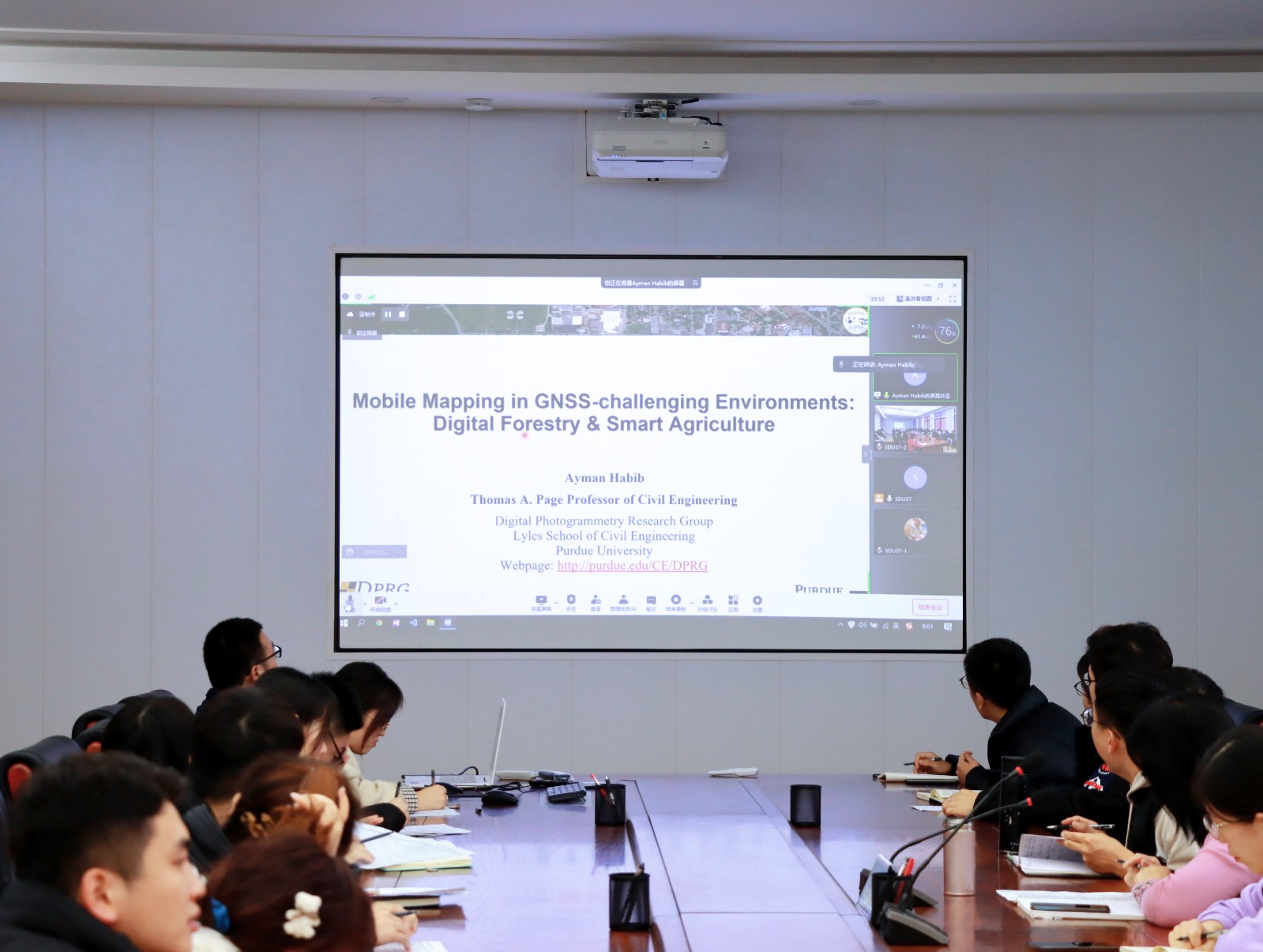
Ayman F.Habib教授作“Mobile Mapping Systems for Accurate Documentation of Transportation Corridors”报告(图)
Ayman F.Habib教授 土木工程学 数字摄影测量 美国摄影测量与遥感学会
font style='font-size:12px;'>
2022/8/29
2021年12月23日上午,由测绘与空间信息学院主办的第11期智“绘”讲堂在第一会议室成功举办。本期智“绘”讲堂邀请到美国摄影测量与遥感学会(ASPRS)和加拿大地球空间信息学会(CIG)会员、美国普渡大学土木工程学院教授、数字摄影测量课题组组长、首席科学家Ayman F. Habib教授作了题为“Mobile Mapping Systems for Accurate Documentation ...

Ayman F. Habib 教授来山东科技大学测绘与空间信息学院作“Mobile Mapping Systems: Demonstrated Technology that Keeps Evolving”专题讲座(图)
山东科技大学测绘与空间信息学院 交通运输管理 遥感学会
font style='font-size:12px;'>
2022/8/29
2021年12月17日上午,由测绘与空间信息学院主办的智“绘”讲堂在J6第一会议室和434报告厅成功举办。本期智“绘”讲堂邀请到美国摄影测量与遥感学会(ASPRS)和加拿大地球空间信息学会(CIG)会员、美国普渡大学土木工程学院教授、数字摄影测量课题组组长、首席科学家Ayman F. Habib教授作了题为“Mobile Mapping Systems: Demonstrated Technolo...
CLASSIFICATION OF POLE-LIKE OBJECTS USING POINT CLOUDS AND IMAGES CAPTURED BY MOBILE MAPPING SYSTEMS
Mobile Mapping System Point-Cloud Pole-Like Object Machine Learning Convolutional Neural Network
font style='font-size:12px;'>
2018/6/4
The vehicle-based mobile mapping system (MMS) is effective for capturing 3D shapes and images of roadside objects. The laser scanner and cameras on the MMS capture point-clouds and sequential digital ...
INDOOR AND OUTDOOR MOBILE MAPPING SYSTEMS FOR ARCHITECTURAL SURVEYS
mobile mapping image-based survey GPS data processing
font style='font-size:12px;'>
2018/6/4
This paper presents the results of architectural surveys carried out with mobile mapping systems. The data acquired through different instruments for both indoor and outdoor surveying are analyzed and...
AUTOMATIC ROAD SIGN INVENTORY USING MOBILE MAPPING SYSTEMS
Mobile Mapping System Point cloud segmentation Road sign inventory Image processing Classification
font style='font-size:12px;'>
2016/7/28
The periodic inspection of certain infrastructure features plays a key role for road network safety and preservation, and for developing optimal maintenance planning that minimize the life-cycle cost ...
POST-MISSION QUALITY ASSURANCE PROCEDURE FOR SURVEY-GRADE MOBILE MAPPING SYSTEMS
MMS lidar accuracy trajectory errors system calibration quality assurance
font style='font-size:12px;'>
2016/7/5
Mobile Mapping Systems (MMS) consist of terrestrial-based moving platforms that integrate a set of imaging sensors (typically digital cameras and laser scanners) and a Position and Orientation System ...
Automatic Road Vector Extraction for Mobile Mapping Systems
Mobile Mapping Computer Vision Road Geometry Lane Line Automatic Extraction VISAT™
font style='font-size:12px;'>
2015/12/9
Land-based mobile mapping systems have yielded an enormous time saving in capturing road networks and their surrounding. However, the manual extraction of the road information from the mobile mapping ...
the potential of low-end imus for mobile mapping systems
Mobile Mapping GPS/INS Inertial Measurement
font style='font-size:12px;'>
2015/9/1
Due to the decreasing prices of the sensors and equipments, mobile mapping technologies are widely used even in...
high quality georeferencing of ground-based mobile mapping systems in urban areas: using 3d aerial-extracted roadmarks as ground control objects
Mobile Mapping Autonomous navigation Georeferencing Pose estimation Automation
font style='font-size:12px;'>
2015/9/1
We propose a novel image-based strategy for a sub-decimetre quality georeferencing of Mobile Mapping Systems in urban areas. The presented approach uses very high resolution multiple-view calibrated a...
Mobile Mapping Systems – State of The Art and Future Trends
Mobile Mapping Direct Georeferencing GPS/INS
font style='font-size:12px;'>
2015/7/15
Digital mobile mapping, the methodology that integrates digital imaging with direct geo-referencing, has developed rapidly over the
past fifteen years. What used to be a topic of academic study has b...
Linear Approach for Initial Recovery of the Exterior Orientation Parameters of Randomly Captured Images by Low-Cost Mobile Mapping Systems
Exterior Orientation Relative Orientation Linear Approaches Bundle Adjustment
font style='font-size:12px;'>
2014/12/4
In this paper, we present a novel linear approach for the initial recovery of the exterior orientation parameters (EOPs) of images. Similar to the conventional Structure from Motion (SfM) algorithm, t...
Scalable and Detail-Preserving Ground Surface Reconstruction from Large 3D Point Clouds Acquired by Mobile Mapping Systems
Surface reconstruction LiDAR geometry urban mobile mapping
font style='font-size:12px;'>
2014/9/9
The currently existing mobile mapping systems equipped with active 3D sensors allow to acquire the environment with high sampling rates at high vehicle velocities. While providing an effective solutio...
Smartphones Based Mobile Mapping Systems
Closed Range Photogrammetry Mobile Mapping System Smartphones MEMS Epipolar Geometry Bundle Adjustment
font style='font-size:12px;'>
2014/7/30
The past 20 years have witnessed an explosive growth in the demand for geo-spatial data. This demand has numerous sources and takes many forms; however, the net effect is an ever-increasing thirst for...
NEW METHOD FOR THE CALIBRATION OF MULTI-CAMERA MOBILE MAPPING SYSTEMS
Adjustment Calibration GPS/INS Multisensor Mobile Systems
font style='font-size:12px;'>
2014/4/25
Mobile Mapping Systems (MMS) allow for fast and cost-effective collection of geo-spatial information. Such systems integrate a set of imaging sensors and a position and orientation system (POS), which...

