搜索结果: 1-3 共查到“摄影测量与遥感技术 Ice Sheet”相关记录3条 . 查询时间(0.093 秒)
ANTARCTIC ICE SHEET SURFACE MASS BALANCE ESTIMATES FROM 2003 TO 2015 USING ICESAT AND CRYOSAT-2 DATA
Antarctica Mass Balance ICESat CryoSat-2
font style='font-size:12px;'>
2016/11/30
An assessment of Antarctic ice sheet surface mass balance from 2003 to 2015 has been carried out using a combination of ICESat data from 2003 to 2009 and CryoSat-2 data from 2010 to 2015. Both data se...
EXTRACTION OF ICE SHEET LAYERS FROM TWO INTERSECTED RADAR ECHOGRAMS NEAR NEEM ICE CORE IN GREENLAND
Cryosphere Ice sheet layering Radar echo sounding Sub-glacial ice flow NASA IceBridge
font style='font-size:12px;'>
2016/11/23
Accumulation of snow and ice over time result in ice sheet layers. These can be remotely sensed where there is a contrast in electromagnetic properties, which reflect variations of the ice density, ac...

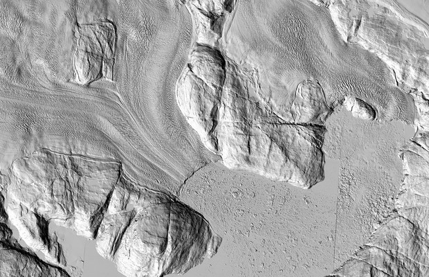
The Greenland Ice Sheet: Now in HD(图)
Greenland Ice Sheet Now in HD
font style='font-size:12px;'>
2014/12/30
The highest-resolution satellite images ever taken of that region are making their debut. And while each individual pixel represents only one moment in time, taken together they show the ice sheet as ...

