
搜索结果: 1-15 共查到“摄影测量与遥感技术 documentation”相关记录88条 . 查询时间(0.108 秒)
Ayman F.Habib教授作“Mobile Mapping Systems for Accurate Documentation of Transportation Corridors”报告(图)
Ayman F.Habib教授 土木工程学 数字摄影测量 美国摄影测量与遥感学会
font style='font-size:12px;'>
2022/8/29
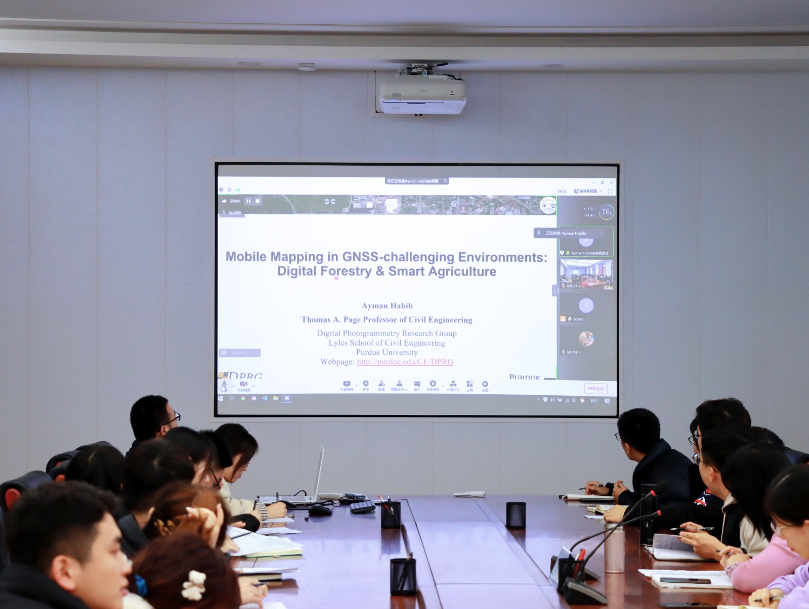
2021年12月23日上午,由测绘与空间信息学院主办的第11期智“绘”讲堂在第一会议室成功举办。本期智“绘”讲堂邀请到美国摄影测量与遥感学会(ASPRS)和加拿大地球空间信息学会(CIG)会员、美国普渡大学土木工程学院教授、数字摄影测量课题组组长、首席科学家Ayman F. Habib教授作了题为“Mobile Mapping Systems for Accurate Documentation ...
3D CAMERAS ACQUISITIONS FOR THE DOCUMENTATION OF CULTURAL HERITAGE
spherical photogrammetry indoor mapping SLAM RGB-D data accuracy comparison
font style='font-size:12px;'>
2019/3/4
Photography has always been considered as a valid tool to acquire information about reality. Nowadays, its versatility, together with the development of new techniques and technologies, allows to use ...
INVESTIGATION INTO THE USE OF ACTION CAMERAS IN THE DOCUMENTATION OF ARCHITECTURAL DETAILS – THE CASE STUDY OF A BAROQUE CHAMBER
low-cost photogrammetry Xiaomi camera accuracy shape analysis cultural heritage frescoes
font style='font-size:12px;'>
2018/6/4
In this paper the possibility of using the Xiaomi 4K action cameras as a low-cost sensor for the generation of high resolution documentation of architecture and architectural elements in the field of ...
SPHERICAL IMAGES FOR CULTURAL HERITAGE: SURVEY AND DOCUMENTATION WITH THE NIKON KM360
Spherical Camera Spherical Images Structure from Motion 3D Modelling Cultural Heritage
font style='font-size:12px;'>
2018/6/4
The work presented here focuses on the analysis of the potential of spherical images acquired with specific cameras for documentation and three-dimensional reconstruction of Cultural Heritage. Nowaday...
3D CULTURAL HERITAGE DOCUMENTATION: A COMPARISON BETWEEN DIFFERENT PHOTOGRAMMETRIC SOFTWARE AND THEIR PRODUCTS
Cultural Heritage Data Repositories Emergency Photogrammetric workflow Photogrammetric software comparison Dense cloud validation Terrestrial Laser Scanner
font style='font-size:12px;'>
2018/6/4
The conservation of Cultural Heritage depends on the availability of means and resources and, consequently, on the possibility to make effective operations of data acquisition. In facts, on the one ha...
FROM FIELD WORK TO DELIVERABLES. EXPERIENCES ON THE TIN HOUSE COURTYARD DOCUMENTATION
Tin House Courtyard laser scanner photogrammetry CAD drawings BIM models documentation
font style='font-size:12px;'>
2017/8/30
The Tin House Courtyard is a property of the National Capital Commission (NCC) in Ottawa, Canada. The site is located within the ‘Mile of History’, a historical route running from Parliament Hill to t...
METRIC DOCUMENTATION OF CULTURAL HERITAGE: RESEARCH DIRECTIONS FROM THE ITALIAN GAMHER PROJECT
CH documentation Building Information Model (BIM) Geomatics Photogrammetry
font style='font-size:12px;'>
2017/8/30
GAMHer is a collaborative project that aims at exploiting and validating Geomatics algorithms, methodologies and procedures in the framework of new European regulations, which require a more extensive...
FROM DOCUMENTATION IMAGES TO RESTAURATION SUPPORT TOOLS: A PATH FOLLOWING THE NEPTUNE FOUNTAIN IN BOLOGNA DESIGN PROCESS
Automatic photogrammetry Visual simulation Restoration Photographic documentation Orthophoto 3D models Color management Physically-based rendering
font style='font-size:12px;'>
2017/6/20
The sixteenth-century Fountain of Neptune is one of Bologna’s most renowned landmarks. During the recent restoration activities of the monumental sculpture group, consisting in precious marbles and hi...
FROM SURVEY TO FEM ANALYSIS FOR DOCUMENTATION OF BUILT HERITAGE: THE CASE STUDY OF VILLA REVEDIN-BOLASCO
Terrestrial Laser Scanning 3D Modeling Solid Modeling Cultural Heritage Finite Element Analysis
font style='font-size:12px;'>
2017/6/20
In the last decade advances in the fields of close-range photogrammetry, terrestrial laser scanning (TLS) and computer vision (CV) have enabled to collect different kind of information about a Cultura...
NEW METHODOLOGIES FOR THE DOCUMENTATION OF FORTIFIED ARCHITECTURE IN THE STATE OF RUINS
Castles Laser Scanner Digital Photogrammetry Architectural Survey Restoration
font style='font-size:12px;'>
2017/6/20
Fortresses and castles are important symbols of social and cultural identity providing tangible evidence of cultural unity in Europe. They are items for which it is always difficult to outline a credi...
CULTURAL HERITAGE DOCUMENTATION IN SIS ENVIRONMENT: AN APPLICATION FOR "PORTA SIRENA" IN THE ARCHAEOLOGICAL SITE OF PAESTUM
SIS GIS Close Range Photogrammetry Cultural Heritage Point Clouds
font style='font-size:12px;'>
2017/6/20
The Heritage Documentation allows the monitoring, maintenance and conservation by the most recent, efficient investigation techniques and storage of data. A key role in Heritage Documentation is repre...
MULTISCALE DOCUMENTATION AND MONITORING OF L’AQUILA HISTORICAL CENTRE USING UAV PHOTOGRAMMETRY
Documentation Geomatics Historical Centre Photogrammetry UAV
font style='font-size:12px;'>
2017/6/20
Nowadays geomatic techniques can guarantee not only a precise and accurate survey for the documentation of our historical heritage but also a solution to monitor its behaviour over time after, for exa...
ACCURACY ASSESSMENT OF POINT CLOUDS GEO-REFERENCING IN SURVEYING AND DOCUMENTATION OF HISTORICAL COMPLEXES
Geo-referencing Point Cloud Registration Architectural Heritage Accuracy
font style='font-size:12px;'>
2017/6/20
Terrestrial Laser Scanning (TLS) technique is widely used for documentation and preservation of historical sites by for example creating three-dimensional (3-D) digital models or vectorial sketches. I...
AN INTEGRATED APPROACH BASED ON TRADITIONAL ARCHAEOLOGICAL SURVEYS, DIGITAL RECORDING TECHNIQUES AND HISTORICAL DOCUMENTATION FOR THE ASSESSMENT OF THREATS RELATED TO THE CLIMATE-SENSITIVE TERRITORIAL CONTEXT
Built Heritage Risk and Resilience Documentation Archaeological Sites Terrestrial Laser Scanning Photogrammetry
font style='font-size:12px;'>
2017/6/20
his essay describes an integrated approach – field survey, historic research, climate data, and topography – for the analysis of a complex stratigraphical archaeological site, highlighting its peculia...
DOCUMENTATION AND DETECTION OF COLOUR CHANGES OF BAS RELIEVES USING CLOSE RANGE PHOTOGRAMMETRY
Change Detection Colour Decay 3D Reconstruction Archaeology Digital Photogrammetry Classification Segmentation
font style='font-size:12px;'>
2017/6/20
The digitization of complex buildings, findings or bas relieves can strongly facilitate the work of archaeologists, mainly for in depth analysis tasks. Notwithstanding, whether new visualization techn...