搜索结果: 1-15 共查到“FLYING”相关记录44条 . 查询时间(0.046 秒)

中国林业科学研究院亚热带林业研究所新品种:虾脊兰‘舞者’ Calanthe Flying dancer(图)
中国林科院亚林所 新品种 虾脊兰 舞者
font style='font-size:12px;'>
2024/5/10

中国林业科学研究院亚热带林业研究所新品种:虾脊兰‘飞雪’ Calanthe Flying snow(图)
中国林科院亚林所 新品种 虾脊兰 飞雪
font style='font-size:12px;'>
2024/5/9

A step toward safe and reliable autopilots for flying(图)
飞行器 自动驾驶仪 人工智能 自主机器人控制
font style='font-size:12px;'>
2023/6/20

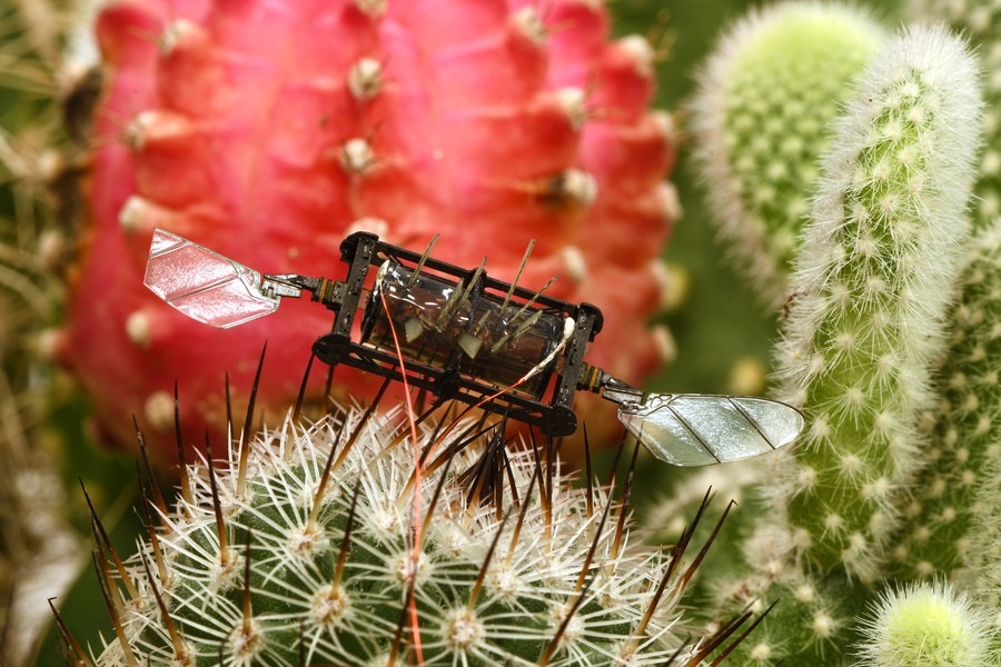
Resilient bug-sized robots keep flying even after wing damage(图)
弹性虫 机器人 人造肌肉
font style='font-size:12px;'>
2023/6/8

HL-LHC radiation protection robot passes first in-cavern test with flying colours(图)
HL-LHC 辐射防护机器人 洞内测试
font style='font-size:12px;'>
2023/5/26

Bees' movements may lead to new swimming, flying robots(图)
Bees movements new swimming flying robots
font style='font-size:12px;'>
2020/1/21
Walking on Caltech's campus, engineer Chris Roh happened to see a bee stuck in the water of Millikan Pond. Although it was a common sight, it led Roh and his colleague Mory Gharib to a discovery about...
Engineers develop thin, lightweight lens that could produce slimmer camera phones, longer-flying drones
Engineers develop thin lightweight lens slimmer camera phone longer-flying drones
font style='font-size:12px;'>
2019/10/10
The new wave of smartphones to hit the market all come with incredible cameras that produce brilliant photos. There's only one complaint -- the thick camera lenses on the back that jet out like ugly b...
COMPREHENSIVE ANALYSIS OF FLYING ALTITUDE FOR HIGH RESOLUTION SLOPE MAPPING USING UAV TECHNOLOGY
Flying Altitudes Ground Control Point (GCP) High Resolution Imagery 3D Slope Mapping UAV
font style='font-size:12px;'>
2018/4/18
Unmanned Aerial Vehicle (UAV) is one of the geoinformation data acquisition technologies that popularly used for slope mapping. UAV is capable to produce high resolution imageries in a short period. I...
COMPREHENSIVE ANALYSIS OF FLYING ALTITUDE FOR HIGH RESOLUTION SLOPE MAPPING USING UAV TECHNOLOGY
Flying Altitudes Ground Control Point (GCP) High Resolution Imagery 3D Slope Mapping UAV
font style='font-size:12px;'>
2018/5/8
Unmanned Aerial Vehicle (UAV) is one of the geoinformation data acquisition technologies that popularly used for slope mapping. UAV is capable to produce high resolution imageries in a short period. I...
CAMERA CALIBRATION ACCURACY AT DIFFERENT UAV FLYING HEIGHTS
Camera calibration accuracy assessment object distances UAV flying heights
font style='font-size:12px;'>
2017/4/6
Unmanned Aerial Vehicles (UAVs) can be used to acquire highly accurate data in deformation survey, whereby low-cost digital cameras are commonly used in the UAV mapping. Thus, camera calibration is co...
Flying lab to investigate Southern Ocean's appetite for carbon
Flying lab Southern Ocean appetite for carbon
font style='font-size:12px;'>
2016/1/8
A team of scientists supported by the National Science Foundation (NSF) will launch a series of research flights over the remote Southern Ocean this month to better understand just how much ...
System Requirements and Mission Analysis for Spaceborne SAR Interferometry Based on Formation Flying Satellites
System Requirements Mission Analysis Spaceborne SAR Interferometry Based Formation Flying Satellites
font style='font-size:12px;'>
2015/11/20
With the purpose of further development of SAR satellite technique and for Earth’s topography, SAR interferometry, with which one can get, not only images with target’s azimuth and range information, ...
HARVARD MICROROBOTICS LAB DEVELOPS FIRST INSECT-SIZE ROBOT CAPABLE OF FLYING AND SWIMMING
HARVARD MICROROBOTICS LAB INSECT-SIZE ROBOT CAPABLE FLYING SWIMMING
font style='font-size:12px;'>
2015/11/12
In 1939, a Russian engineer proposed a “flying submarine” -- a vehicle that can seamlessly transition from air to water and back again. While it may sound like something out of a James Bond film, engi...

How a flying bat sees space(图)
flying bat sees space
font style='font-size:12px;'>
2015/11/12
Recordings from echolocating bat brains have for the first time given researchers a view into how mammals understand 3-D space.By training bats to fly around obstacles in a room, and sit patiently on ...
Flying Curved Approaches and Missed Approaches:3-D Display Trials Onboard a Light Aircraft
Flying Curved Approaches 3-D Display Trials Onboard Light Aircraft
font style='font-size:12px;'>
2015/6/29
Cockpit displays that enhance situational awareness in light aircraft are becoming feasible through the rapid development of enabling technologies including differential GPS, inexpensive computers, an...


