搜索结果: 1-15 共查到“Underwater”相关记录177条 . 查询时间(0.056 秒)

Underwater robot helps explain Antarctic glacier’s retreat(图)
水下机器人 南极冰川 气候学
font style='font-size:12px;'>
2023/5/18

MIT engineers build a battery-free, wireless underwater camera(图)
水下摄像机 探索海洋 跟踪污染 监测气候
font style='font-size:12px;'>
2023/6/8
Cornell, US Navy raise bar for autonomous underwater imaging
美国海军 水下成像标准 康奈尔
font style='font-size:12px;'>
2023/5/22
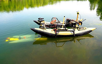
What if underwater robots could dock mid-mission to recharge and transfer data?(图)
underwater robots dock mid-mission recharge transfer data
font style='font-size:12px;'>
2020/10/23
Robots can be amazing tools for search-and-rescue missions and environmental studies, but eventually they must return to a base to recharge their batteries and upload their data. That can be a challen...
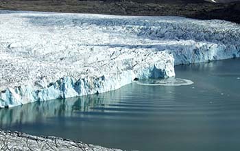
Scientists use underwater microphones to study calving Arctic glacier(图)
Scientists microphones calving Arctic glacier
font style='font-size:12px;'>
2020/4/10
Researchers at the Scripps Institution of Oceanography are eavesdropping on an Arctic glacier in the name of science. In a new study, scientists Oskar Glowacki and Grant Deane describe a method of mea...
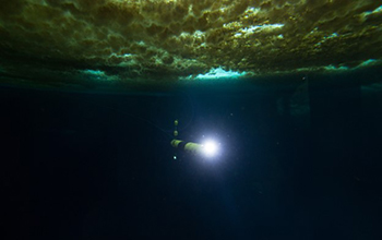
Robotic underwater vehicle snaps first images of seafloor beneath Antarctica's Thwaites Glacier(图)
Robotic underwater vehicle snaps first images seafloor beneath Antarctica Thwaites Glacier
font style='font-size:12px;'>
2020/2/20
During the first study of the ocean floor beneath Antarctica’s Thwaites Glacier, scientists took images of the glacier's foundations. Thwaites now accounts for about 4% of global sea level rise, and r...
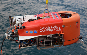
Underwater robot takes first known automated sample from ocean(图)
Underwater robot takes automated sample ocean
font style='font-size:12px;'>
2020/1/19
A hybrid remotely operated vehicle developed by NSF-funded Woods Hole Oceanographic Institution researchers took the first known automated ocean sample performed by a robotic arm. Last ...
Underwater telecom cables make superb seismic network
Underwater telecom cables superb seismic network
font style='font-size:12px;'>
2019/12/13
Fiber-optic cables in a global undersea telecommunications network could one day help scientists study offshore earthquakes and the geologic structures hidden deep beneath the ocean surface.In a paper...
DIVERS-OPERATED UNDERWATER PHOTOGRAMMETRY: APPLICATIONS IN THE STUDY OF ANTARCTIC BENTHOS
Benthos 3D models video samplings diver-operated underwater photogrammetry Antarctica historical videos 3D features detecting
font style='font-size:12px;'>
2018/6/4
Ecological studies about marine benthic communities received a major leap from the application of a variety of non-destructive sampling and mapping techniques based on underwater image and video recor...
MONITORING CORAL GROWTH – THE DICHOTOMY BETWEEN UNDERWATER PHOTOGRAMMETRY AND GEODETIC CONTROL NETWORK
Underwater Geodetic Network, Photogrammetry Underwater 3D Model Coral Growth Monitoring Change Detection Deformation Analysis
font style='font-size:12px;'>
2018/6/4
Creating 3-dimensional (3D) models of underwater scenes has become a common approach for monitoring coral reef changes and its structural complexity. Also in underwater archeology, 3D models are often...
IMPROVING UNDERWATER ACCURACY BY EMPIRICAL WEIGHTING OF IMAGE OBSERVATIONS
underwater photogrammetry, image quality, bundle adjustment, image observation weighting
font style='font-size:12px;'>
2018/6/4
An underwater imaging system with camera and lens behind a flat port does not behave as a standard pinhole camera with additional parameters. Indeed, whenever the entrance pupil of the lens is not in ...
UNDERWATER PHOTOGRAMMETRY IN VERY SHALLOW WATERS: MAIN CHALLENGES AND CAUSTICS EFFECT REMOVAL
Underwater 3D Reconstruction SfM MVS Caustics CNN
font style='font-size:12px;'>
2018/6/4
In this paper, main challenges of underwater photogrammetry in shallow waters are described and analysed. The very short camera to object distance in such cases, as well as buoyancy issues, wave effec...
LOW COST EMBEDDED STEREO SYSTEM FOR UNDERWATER SURVEYS
Image processing underwater imaging embedded systems stereo vision visual odometry 3D reconstruction
font style='font-size:12px;'>
2018/3/6
This paper provides details of both hardware and software conception and realization of a hand-held stereo embedded system for underwater imaging. The designed system can run most image processing tec...
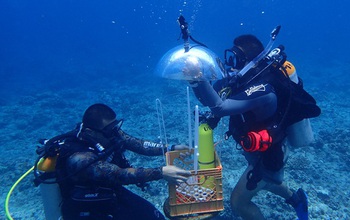
Underwater GPS Changes The Map(图)
Underwater GPS Changes Map
font style='font-size:12px;'>
2018/2/1
In Guam, researchers developed a method for mapping underwater areas that is transforming how oceanographers observe the seafloor. Data from global positioning satellites are the primary method for ma...
2017IEEE水声信号处理研讨会(2017 IEEE Underwater Acoustic Signal Processing Workshop)
2017 IEEE 水声信号处理 研讨会
font style='font-size:12px;'>
2017/9/22
The objective of this workshop is to provide an informal atmosphere for discussions of original research on signal processing techniques with underwater acoustic applications. The intent is to review ...


