
搜索结果: 1-15 共查到“理学 geological”相关记录120条 . 查询时间(0.093 秒)
《Lithofacies Paleogeography and Geological Survey of Shale Gas》专著在Springer出版(图)
石油天然气 中国地质调查局 页岩气
font style='font-size:12px;'>
2023/7/18
2022年,在中国地质调查局成都地质调查中心成立60周年之际,为进一步传承与发扬中心岩相古地理传统优势学科,凸显岩相古地理研究理论和编图方法创新性成果,突出其在支撑新一轮找矿突破战略行动中基础性、指导性、方法性等共识性认识,提升中国地质调查局成都地调中心及岩相古地理优势学科在国内外的影响力,《Lithofacies Paleogeography and Geological Survey of S...
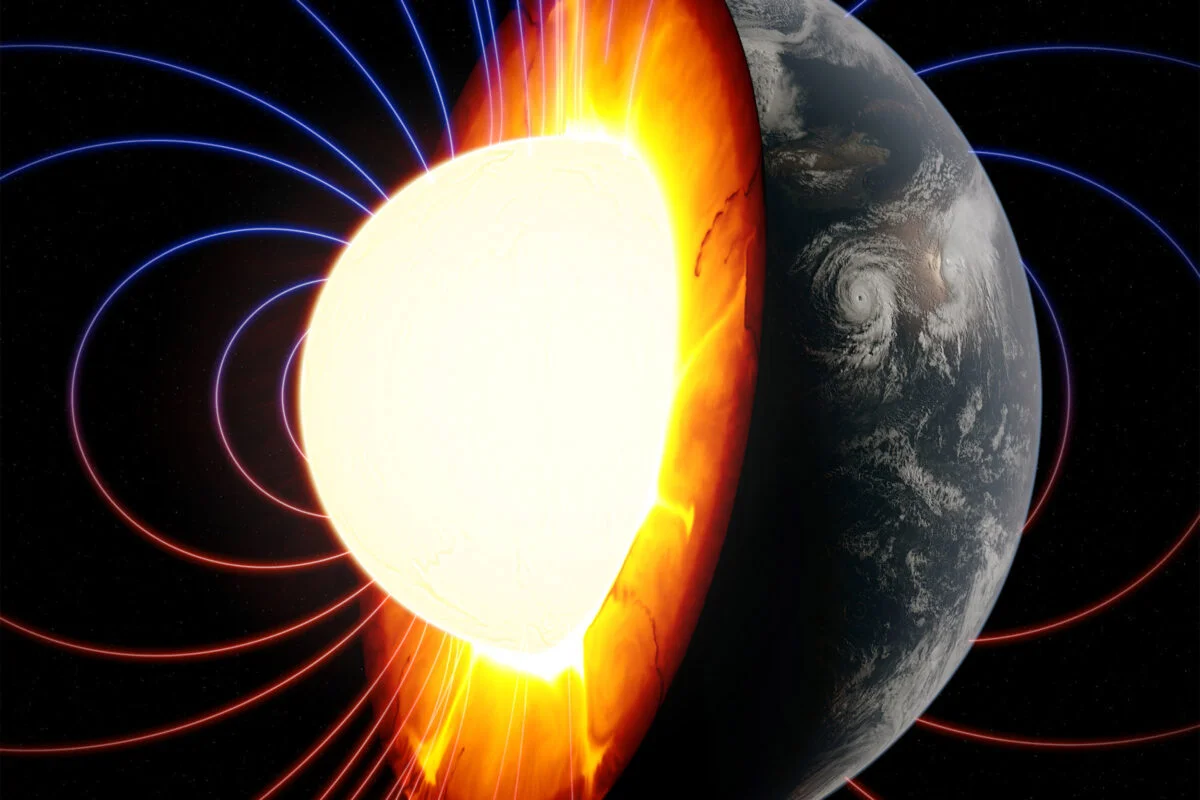
Laying geological groundwork for life on Earth(图)
板块构造 地磁极翻转 地球生物学
font style='font-size:12px;'>
2023/6/21
New research analyzing pieces of the most ancient rocks on the planet adds some of the sharpest evidence yet that Earth’s crust was pushing and pulling in a manner similar to modern plate tectonics at...

中国地质大学(武汉)海洋学院解习农教授、杜学斌教授团队在国际著名期刊《Geological Society of America Bulletin》(美国地质学会刊)上发表论文——海平面和沉积噪声变化在南海西沙群岛生物礁发育的响应(图)
解习农 杜学斌 Geological Society of America Bulleti 美国地质学会 海平面 沉积噪声变化 南海西沙群岛 生物礁发育
font style='font-size:12px;'>
2022/9/16
2022年6月2日,中国地质大学(武汉)海洋学院解习农教授、杜学斌教授团队在国际地学TOP期刊《Geological Society of America Bulletin》(美国地质学会刊)上发表论文,报道了南海西沙群岛全新世-上新世时期生物礁发育的气候背景及海平面控制因素。
STUDY ON THE DISTRIBUTION OF GEOLOGICAL HAZARDS BASED ON FRACTAL CHARACTERISTICS – A CASE STUDY OF DACHUAN DISTRICT
Geologic Hazard Fractal Theory Fractal Dimension Self Correlation Risk Zoning
font style='font-size:12px;'>
2018/5/15
It is a complicated process to analyze the cause of geological hazard. Through the analysis function of GIS software, 250 landslides were randomly selected from 395 landslide hazards in the study area...
POTENTIAL GEOLOGICAL SIGNIFICATIONS OF CRISIUM BASIN REVEALED BY CE-2 CELMS DATA
Mare Crisium Microwave thermal emission Geological significance CELMS data Cold anomaly Basaltic volcanism
font style='font-size:12px;'>
2018/5/15
Mare Crisium is one of the most prominent multi-ring basins on the nearside of the Moon. In this study, the regolith thermophysical features of Mare Crisium are studied with the CELMS data from CE-2 s...

Old Faithful's Geological Heart Revealed(图)
Old Faithful Geological Heart Revealed
font style='font-size:12px;'>
2017/10/25
Old Faithful is Yellowstone National Park’s most famous landmark. Millions of visitors come to the park every year to see the geyser erupt every 44-125 minutes. But despite Old Faithful’s fame, relati...
美洲地质学会南部分会第51次会议(Geological Society of America South Central Section Meeting)
美洲地质学会南部分会 第51次 会议
font style='font-size:12px;'>
2017/1/20
We look forward to presentations and posters that highlight many aspects of the geosciences.Presentations and posters to honor people whose research resulted in significant advances are especially wel...
MANAGING GEOLOGICAL PROFILES IN DATABASES FOR 3D VISUALISATION
3D geology DTM Geological maps Geophysics Bedrock geology 2D geological profiles WebGL API DXF PostGIS Norway georeferencing cross-sections open source javascript framework
font style='font-size:12px;'>
2016/10/14
Geology and all geological structures are three-dimensional in space. GIS and databases are common tools used by geologists to interpret and communicate geological data. The NGU (Geological Survey of ...
APPLICATION OF MULTISPECTRAL SATELLITE DATA FOR GEOLOGICAL MAPPING IN ANTARCTIC ENVIRONMENTS
Multispectral satellite data Geological mapping Antarctic environments
font style='font-size:12px;'>
2016/10/14
Remote sensing imagery is capable to provide a solution to overcome the difficulties associated with geological field mapping in the Antarctic. Advanced optical and radar satellite imagery is the most...
GEOLOGICAL FEATURES MAPPING USING PALSAR-2 DATA IN KELANTAN RIVER BASIN, PENINSULAR MALAYSIA
PALSAR-2 Geological features mapping Kelantan River basin Peninsular Malaysia
font style='font-size:12px;'>
2016/10/14
In this study, the recently launched Phased Array type L-band Synthetic Aperture Radar-2 (PALSAR-2) onboard the Advanced Land Observing Satellite-2 (ALOS-2), remote sensing data were used to map geolo...
18th Science and Applied Research Conference on Oil and Gas Geological Exploration and Development
General Geology Regional Sessions
font style='font-size:12px;'>
2016/7/25
We invite you to take part in the 18th science and applied research conference on oil and gas geological exploration and development. The conference GEOMODEL 2016 will be held in Gelendzhik, Russia, f...
Geological factors responsible for REY-rich mud in the western North Pacific Ocean: Implications from mineralogy and grain size distributions
REY-rich mud biogenic calcium phosphate phillipsite pelagic sediment grain size distribution
font style='font-size:12px;'>
2017/4/10
Seven piston cores were collected from the seafloor ~250 km south of Minamitorishima Island in the western North
Pacific Ocean during the cruise KR13-02 of R/V Kairei; in some portions of cores PC04 ...
Electrical imaging and self-potential survayes to study the geological setting of the Quaternary, slope depositsin the Agri high valley (Southern Italy)
Electrical imaging self potential structural geology slope deposits strike-slip fault
font style='font-size:12px;'>
2015/9/28
We present the results of a geophysical survey carried out to outline the structural modelling of Quaternary slopedeposits in the northern part of the Agri high valley (Basilicata, Southern Italy). Qu...
Information on subsoil geological structure in the city of Catania (Eastern Sicily) from microtremor measurements
microtremors H/V technique sire response subsoil geological structure
font style='font-size:12px;'>
2015/9/28
Nakamuras technique, or the H/V spectral ratio method, has been applied to microtremor measurements carried out in the urban area of Catania (Eastern Sicily) to obtain information on the geological st...
Raised marine terraces in the Northern Calabrian Arc (Southern Italy): a ~ 600 kyr-long geological record of regional uplift
Calabrian Arc marine terrace uplift Pleistocene active fault
font style='font-size:12px;'>
2015/9/15
The Sibari Plain in the Northeastern Calabrian Arc displays a well-developed suite of marine terraces. This paper
deals with i) the identification and correlation of the terraces; ii) their age assig...