搜索结果: 1-7 共查到“测绘科学技术 Ice Sheet”相关记录7条 . 查询时间(0.091 秒)
ANTARCTIC ICE SHEET SURFACE MASS BALANCE ESTIMATES FROM 2003 TO 2015 USING ICESAT AND CRYOSAT-2 DATA
Antarctica Mass Balance ICESat CryoSat-2
font style='font-size:12px;'>
2016/11/30
An assessment of Antarctic ice sheet surface mass balance from 2003 to 2015 has been carried out using a combination of ICESat data from 2003 to 2009 and CryoSat-2 data from 2010 to 2015. Both data se...
EXTRACTION OF ICE SHEET LAYERS FROM TWO INTERSECTED RADAR ECHOGRAMS NEAR NEEM ICE CORE IN GREENLAND
Cryosphere Ice sheet layering Radar echo sounding Sub-glacial ice flow NASA IceBridge
font style='font-size:12px;'>
2016/11/23
Accumulation of snow and ice over time result in ice sheet layers. These can be remotely sensed where there is a contrast in electromagnetic properties, which reflect variations of the ice density, ac...
MODELLING DEM DATA UNCERTAINTIES FOR MONTE CARLO SIMULATIONS OF ICE SHEET MODELS
GIS DEM/DTM Error Correlation Impact Analysis Modelling Reference Data Glaciology
font style='font-size:12px;'>
2015/9/28
For realistic modelling of digital elevation model (DEM) uncertainty, information on the amount and spatial configuration is needed.However, common DEM products are often distributed with global error...
STUDYING AND MONITORING THE GREENLAND ICE SHEET USING GIS TECHNIQUES
GIS Remote Sensing Mass Balance Accumulation Rate Global Warming Laser Altimetry Subglacial Topography DEM
font style='font-size:12px;'>
2015/2/3
Glaciers and ice sheets are the most important hydrological resources on Earth and play an important role in the global
climate system. The Greenland Ice Sheet stores 9 % of the Earth’s fresh water s...

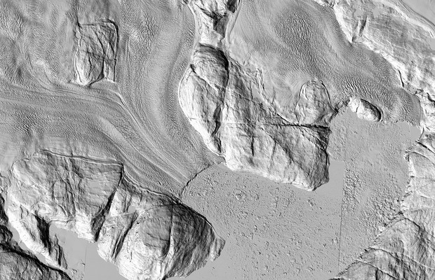
The Greenland Ice Sheet: Now in HD(图)
Greenland Ice Sheet Now in HD
font style='font-size:12px;'>
2014/12/30
The highest-resolution satellite images ever taken of that region are making their debut. And while each individual pixel represents only one moment in time, taken together they show the ice sheet as ...
COMPARISON OF MICROWAVE BACKSCATTER ANISOTROPY PARAMETERISATIONS OVER THE ANTARCTIC ICE SHEET
Snow Ice Glaciology Research Active Microwave Satellite
font style='font-size:12px;'>
2014/4/30
The Antarctic Ice Sheet exhibits a strong anisotropy in microwave backscatter, both as a function of azimuth angle and incidence angle. This anisotropy arises as a result of i) the alignment of roughn...
Different Melt Regimes Indicated by Surface Albedo Measurements at the Greenland Ice Sheet Margin – Application of TM Image
Different Melt Regimes Indicated Surface Albedo Measurements at the Greenland Ice Sheet Margin Application of TM Image
font style='font-size:12px;'>
2014/4/15
Different Melt Regimes Indicated by Surface Albedo Measurements at the Greenland Ice Sheet Margin – Application of TM Image.

